Label less.
Deliver more.
Create stunning, branded drone images with smarter tools, faster editing, and a workflow built for professional photographers.
Why Desktop
Because photographers asked for more
More speed. More control. A workflow that feels closer to real production. Airpinner Desktop gives you a focused workspace, smoother editing, and better control over the details that shape your final image.
Why Airpinner
It started with a simple frustration: too much time spent on post-production work that should feel effortless. Airpinner was built to make labelling, styling and delivery faster, cleaner and more professional.
The Story
A major upgrade, shaped by real feedback
Airpinner started on the web. After listening to photographers, we rebuilt the experience as a desktop app — with more control, better speed, and a workflow that feels closer to real production.
Same Airpinner vision. A much more powerful workspace.
Features
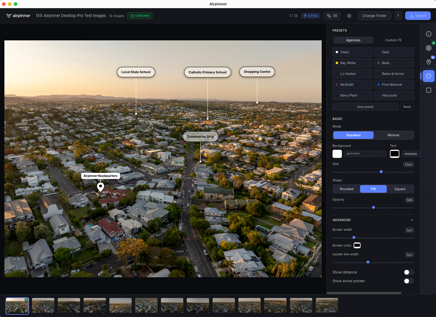
Built for the work you do
Make every image look like your brand
Create cleaner, bolder label systems with your own colors and visual identity. Switch between styles instantly with built-in presets or save your own.
Move labels exactly where they need to go
More control, less compromise. Fine-tune layout for cleaner compositions and better readability. Hold Shift to constrain to straight lines.
Edit what matters
Adjust label names, anchor text and presentation without fighting the layout. Rename any POI with a double-click.
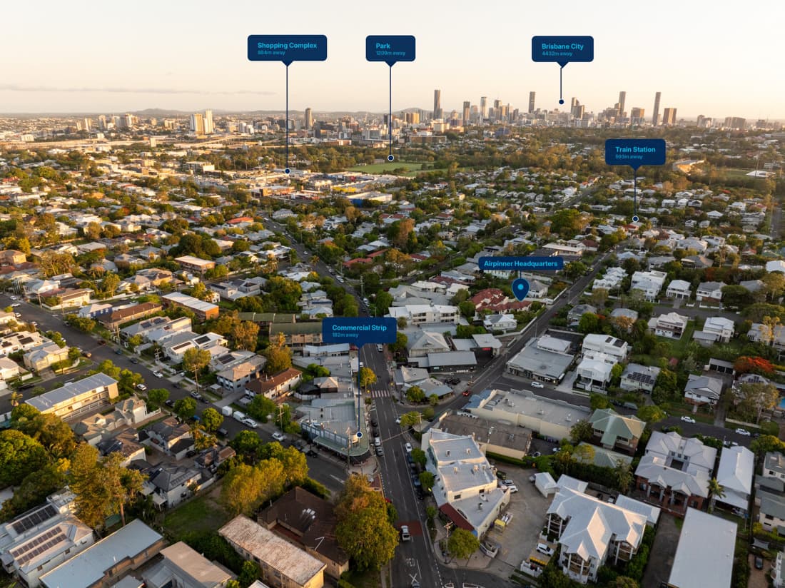
Show more than a point. Define the whole area.
Perfect for land, developments, estates and sites that need more context than a single pin. Click to draw, Enter to close. Customizable fill, stroke, and text.
JPEG & DNG workflows
Work with the files you actually shoot. From quick-turnaround jobs to higher-end editing pipelines, Airpinner supports both.
Ready for client delivery
Export polished, presentation-ready images without bouncing between tools. Batch export, custom naming, configurable quality and size.
Everything in one place
Manage your account, credits, subscription and workflow from a clean dashboard. Upgrade, top-up, and track usage effortlessly.
The Difference
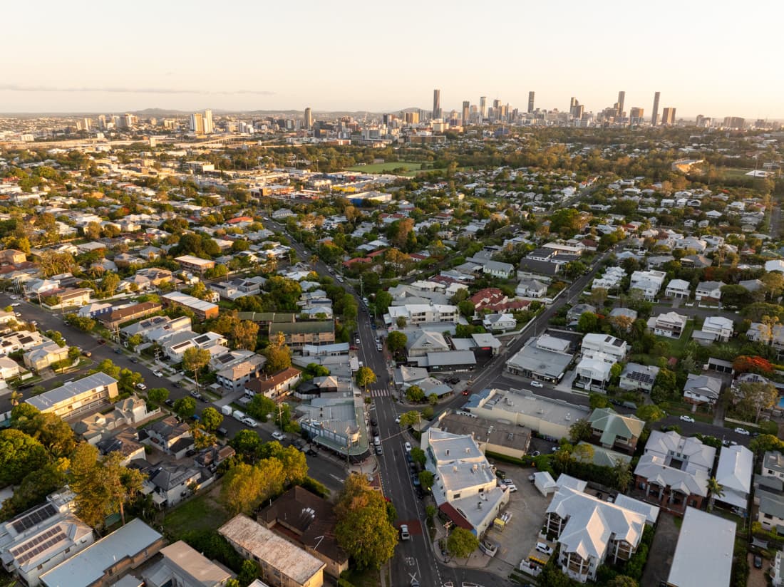
From aerial capture to polished delivery
Same image. Different impression.
Use Cases
Made for the aerial work you already do
Real estate listings
Show nearby amenities and distances
Prestige homes
Premium branded presentation
Acreage & land
Boundary context and dimensions
Commercial sites
Industrial and retail mapping
Coastal properties
Beach, marina and lifestyle context
Developments
Masterplan and lot identification
Get Started
Up and running in minutes
Download
Get the Mac app
Create account
20 free credits included
Choose plan
Flexible pricing
Start labelling
Deliver more
Ready to upgrade your drone workflow?
Download Airpinner Desktop and start delivering more professional drone imagery today.
Download Airpinner Desktop